 |
 |
The three Persian Gulf airlines
| May 12th, 2014 at 4:45:04 PM permalink | |
| Pacomartin Member since: Oct 24, 2012 Threads: 1068 Posts: 12569 | 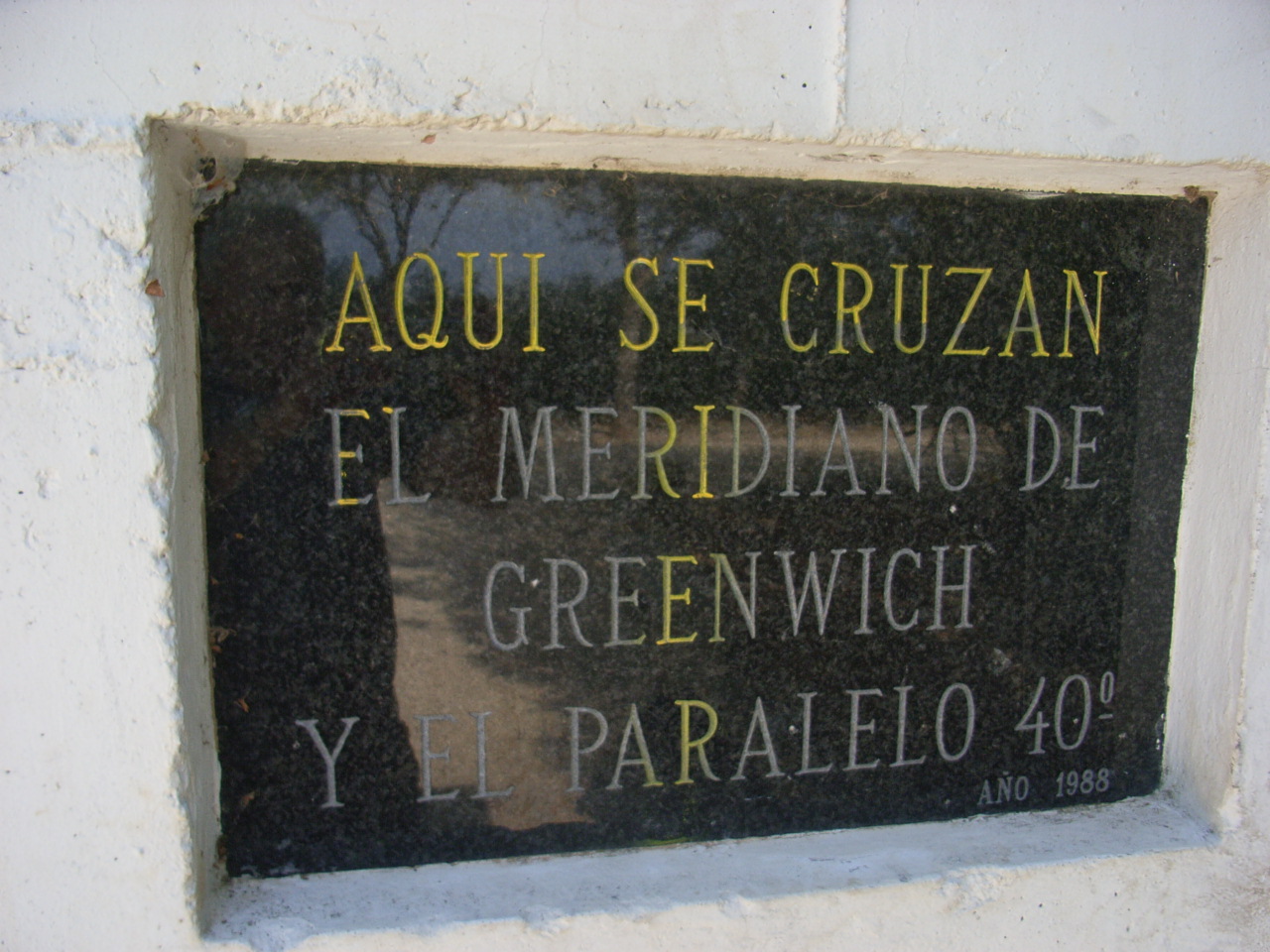 They have a little marker at 40 degrees north and zero in Spain in a small town of Castellon de la Plana. I think there is another one on the beach. Prime meridian and 50 and 60 degrees latitude are both in the water. 30 degrees would be in the middle of the Sahara.  |
| May 12th, 2014 at 10:40:49 PM permalink | |
| Pacomartin Member since: Oct 24, 2012 Threads: 1068 Posts: 12569 | A little trivia question (which I don't know the answer to) is how far can you fly on three existing air routes? For instance a fairly standard round the world trip would be 6,730 JFK-NRT 5,960 NRT-LHR 3,440 LHR-JFK 16,130 total miles 64.8% of the circumference of the world If I use HKG as my Asian hub, the total swings up to 17K miles A theoretical circumnavigation (JNB=Johannesburg) would be: 8,439 ATL-JNB DELTA 6,640 JNB-HKG Cathay Pacific 8,380 HKG-ATL Doesn't exist 23,459 total miles 94.2% of the circumference of the world But the third leg does not exist. Cathay Pacific doesn't fly it, and Delta is flying to Hong Kong from Seattle. So my trivia question, is there any existing three legged circumnavigations that sum to over 20,000 miles? Theoretically, a three legged circumnavigation that averaged 8300 miles per leg would equal 100% of the circumference of the world. It may happen some day, but I can't figure out how. |
| May 12th, 2014 at 11:10:47 PM permalink | |
| beachbumbabs Member since: Sep 3, 2013 Threads: 6 Posts: 1600 | Northern Hemisphere, anyway, you can go London-Seoul-Los Angeles-London (in either direction, starting from any point) which gets you around the world in about 36 hours. London-Seoul is on Asiania, Seoul-LAX is on 4 different airlines including Korean Air and United,, LAX - London is on about 8, including United, Delta, American, BA, and Virgin. However, you don't cross the equator, so I don't know if that qualifies for your trivia question. LAX-London is less than 6000 miles, so I suspect the route does not exceed 20K miles, but every time I try to look up the distances from Seoul, I get moved into Korean without a translation option. EDIT: LAX-Seoul is 6,012 SM. So I don't know, but it has to be close. Never doubt a small group of concerned citizens can change the world; it's the only thing ever has |
| May 13th, 2014 at 4:14:06 AM permalink | |
| Pacomartin Member since: Oct 24, 2012 Threads: 1068 Posts: 12569 |
The circumference of earth at Equator - 24,900 miles; at the Tropic of Cancer - 22,835 miles; at the Arctic Circle - 10,975 miles. The circumference at LAX latitude is 20,657 miles. So it seems like it shouldn't be that difficult. But London-Seoul-Los Angeles-London isn't even close 5,510 LHR-ICN 5,960 ICN-LAX 5,440 LAX-LHR 16,910 You can go Dubai, LAX, Buenos Aires except you are not circumnavigating the globe. 8,320 DXB LAX 6,120 LAX EZE 8,490 EZE DXB 22,930 |
| May 14th, 2014 at 7:07:10 AM permalink | |
| Nareed Member since: Oct 24, 2012 Threads: 346 Posts: 12545 |
With all such markers, including those denoting the Prime Meridian, I keep thinking "So and arbitrarily drawn line crosses this place?" ;) Granted coordintaes would be different if the prime meridian where elsewhere, but there's nothign special about the spot chosen to draw it. Other arbitrarily, more or less, drawn lines like borders seem mroe useful. After all, jurisdictions change once you cross them. Donald Trump is a one-term LOSER |
| May 14th, 2014 at 9:56:24 AM permalink | |
| Fleastiff Member since: Oct 27, 2012 Threads: 62 Posts: 7831 | Arbitrary lines? What yachtsman doesn't pour out a ration of rum for all his crew (and one for Posiedon) when they cross the equator? And if there are kids aboard, someone dresses up like Posiedon and presides at the ceremonial crossing of the equator. Of course now its easy to look at the GPS going to 000000 rather than shooting the sun with a sextant. Now I remember the woman on a cruise ship who kept looking down over the rail and complaining that she couldn't see the equator so the helpful Captain took a hair out of his head and held it across the front of her telescope and she said, I see it now and there is a camel crossing it. The only question regarding some longitude and latitude sign in a village like that is "Will it bring in tourists and tourist dollars and give tourists something to do other than get drunk". Nothing else is really relevant. So imaginary lines in incorrect places are just fine. Heck, think of the town of Salem with all its witches and witch oriented establishments. That is the town with the PRESENT day name of Salem. The town that actually tried and hanged witches is a totally different town that at THAT time was named Salem. So all those tourist dollars are derived from utter falsity, but it doesn't make any difference when the merchants make their bank deposits. |
| May 14th, 2014 at 10:45:54 AM permalink | |
| Pacomartin Member since: Oct 24, 2012 Threads: 1068 Posts: 12569 |
Well, there is an arbitrary quality to all measurements. But latitude was calculated from antiquity so when 2 km was set to 1.07991 minute of latitude, that was a stupid decision. They should have set 2 km =1 minute of latitude so that the systems could be easily converted. Paris and London fought for over a century over who should get the prime meridian. The French even argued for something neutral (like making the Bering Strait the anti-meridian, and having the prime meridian come into the countryside near Florence. They just didn't want it going through a suburb of London. Paris didn't formally accept Greenwich Meridian until 1911. A little disagreement is acceptable when world travel was done by ships. But once we started flying there could be no ambiguity. The actual standard is called Temps Universel Coordonné or UTC or sometimes CUT. It is equivalent to Greenwich Mean Time (GMT) unless you need definition at the sub-second level. It is a concession to the French, that the official name for universal time is a French phrase (to make up for losing the prime meridian). |
| May 14th, 2014 at 11:06:05 AM permalink | |
| AZDuffman Member since: Oct 24, 2012 Threads: 135 Posts: 18210 |
Could they just do that though? A minute is 1/60 of a degree. Seems unless you change the diameter of the earth you cannot do this. I only see minutes on land records after 1900 or so, and seconds on newer stuff and rarely. While I am sure that higher level stuff used both earlier I am also guessing they just hacked degrees into halves like they do at my level pre-1900.
Makes you wonder how the Pope didn't get it done on his own, through Rome. The President is a fink. |
| May 14th, 2014 at 11:48:37 AM permalink | |
| Nareed Member since: Oct 24, 2012 Threads: 346 Posts: 12545 |
Absolutely.
Well, yes, but can you still get exactly 360 degrees with exactly 1 minute? That counts, too. For that matter, time is based on a non-decimal system. There have been proposals here and there to make decimal hours of 100 decimal minutes each of 100 decimal seconds. That would throw many records, including scientiic ones, into disarray. Ditto for the proposals to change the calendar. Many of the proposed ideas are very good, but the calendar as is is good enough to be worth changing. Measures which aren't arbitrary tend to be irrational, like the parsec. Donald Trump is a one-term LOSER |
| May 14th, 2014 at 12:30:23 PM permalink | |
| Pacomartin Member since: Oct 24, 2012 Threads: 1068 Posts: 12569 |
I'm not trying to change the circumference of the earth or 60 minutes equal to a degree. The equator to North pole was 90 degrees * 60 minutes = 5,400 minutes (nautical miles) since ancient times. In 1791 the Académie des sciences (Paris) formally decided that the distance from the equator to the north pole should be defined as 10,000 km. Had they defined it as 10,800 km and adjusted everything else based on this definition, the ancient system and the modern system of global distances would differ by a simple factor of 2. |